CCTV News: According to China Weather Network, affected by the cold wave, Hebei will experience obvious strong winds and cooling weather from north to south today and tomorrow (February 6th to 7th). Local gusts can reach level 10 or above, which will be the widest and strongest windy weather since the beginning of winter. The lowest temperature in many places in northern Hebei will be as low as -30℃ tomorrow morning, and the wind-cold effect may make the somatosensory temperature 5 to 15℃ lower than the actual temperature! The public should pay attention to strengthening wind protection and keeping warmth away from billboards, big trees, temporary buildings, etc. when going out, and pay attention to safety.
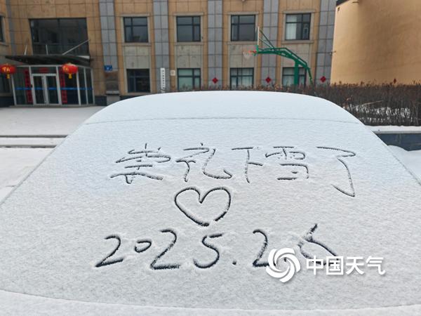
Snowfall in Chongli, Hebei this morning. (Photo/Wang Xuhai)
During the day today, the cold wave has already begun to affect northwestern Hebei. The temperature at 14:00 p.m. has dropped from 2℃ to 5℃ compared with yesterday. The station with the lowest temperature is Zhangjiakou Kangbao, with only -21.4℃. It is expected that as the cold wave continues to move south, strong winds and cooling will occur in most areas of Hebei, and the wind-cold effect is very significant. For this reason, the Hebei Provincial Meteorological Observatory continues to issue yellow warning signals for strong winds.
Hebei Provincial Meteorological Observatory predicts that from this afternoon to night, there will be light snow in the northern part of Zhangjiakou and Chengde, and other areas of Hebei will be cloudy and turn sunny. In most areas, there will be north-to-northwest winds of level 5 to 7, gusts of level 8 to 9, and local levels above; in the Bohai Sea and coastal areas, there will be northwest winds of level 7 to 9, and gusts of level 10 to 11. The highest temperature in northwest of Zhangjiakou, Chengde and Baoding is -25℃ to -4℃, and other areas are -3℃ to 9℃. The lowest temperature in northwest of Zhangjiakou, Chengde and Baoding is -36℃ to -17℃, and other areas are -16℃ to -10℃.
Tomorrow morning, the lowest temperature in Hebei will drop significantly, with Zhangjiakou, northern Chengde and Baoding, Langfang and the south areas falling by 6℃ to 8℃, some areas drop by 8℃ to 10℃, and other areas drop by 4℃ to 6℃. The lowest temperature in Zhangjiakou, Chengde, northern Qinhuangdao and northwest Baoding dropped to -30℃ to -20℃, among which the Bashang area can drop to -36℃ to -31℃, and other areas can drop to -19℃ to -10℃.
Tomorrow during the day, the eastern part of Zhangjiakou and Chengde will be cloudy and sunny, while other areas of Hebei will be sunny and cloudy. Strong winds will continue, with northwest winds of level 5 to 6 in Zhangjiakou, Chengde, western Baoding and western Shijiazhuang, gusts of level 7 to 9 in the local area, and northerly winds of level 4 to 5 in other areas and gusts of level 6 to 7 in other areas; northerly winds of level 6 to 7 in the Bohai Sea and coastal areas, and gusts of level 8 to 9 in the gusts.
Tomorrow night to the 9th, most parts of Hebei will turn to sunny or cloudy weather, and the wind will gradually decrease.
The meteorological department reminds that the basic temperature in Hebei is no longer high in the early stage. This round of cold wave will further lower the temperature. The wind-cold effect caused by strong wind will aggravate the feeling of cold. Pay attention to prevent wind and keep warm when going out to prevent colds and cardiovascular and cerebrovascular diseases. At the same time, Hebei is also one of the core areas affected by this strong wind. Local gusts can reach level 10 or above, which is extreme. Special attention should be paid to the adverse effects of strong winds on travel in the Spring Festival travel rush. Pay attention to safety during outdoor activities and stay away from temporary buildings, billboards, etc.